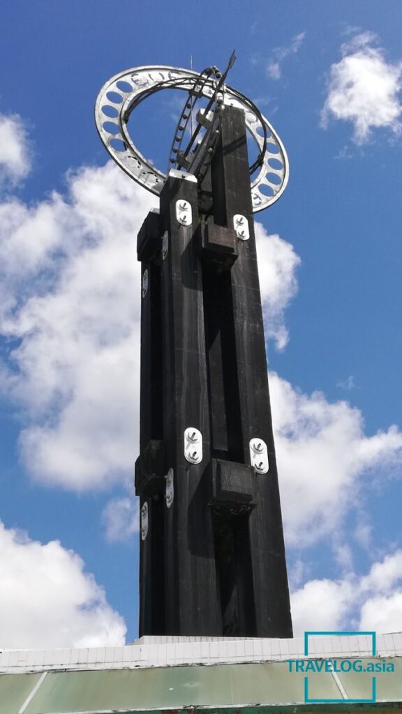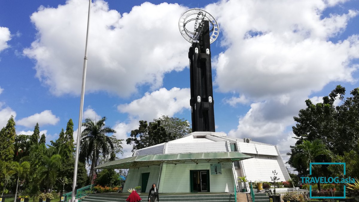
The Equator Monument (Indonesian: Tugu Khatulistiwa) is one of the most iconic landmarks in Pontianak, symbolizing the geographical division between the Northern and Southern Hempheres. Situated along the majestic Kapuas River, the monument attracts visitors from around the world who wish to stand near the Earth’s equatorial line.
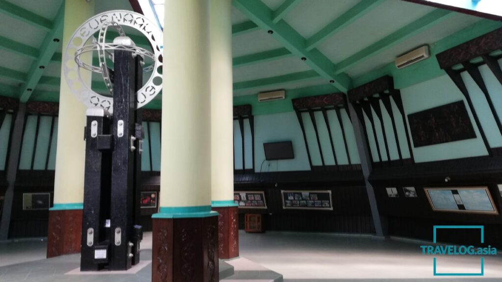
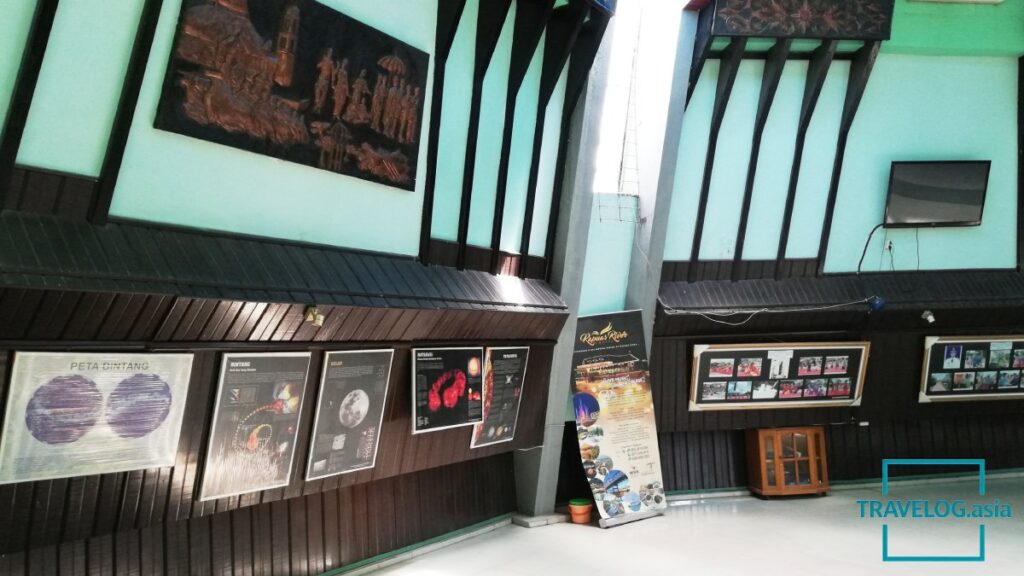
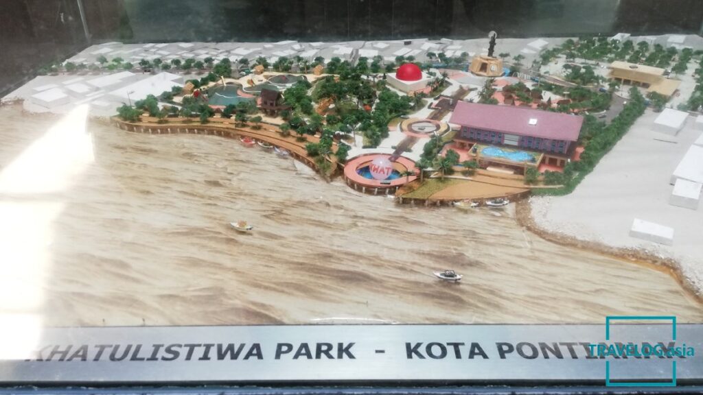
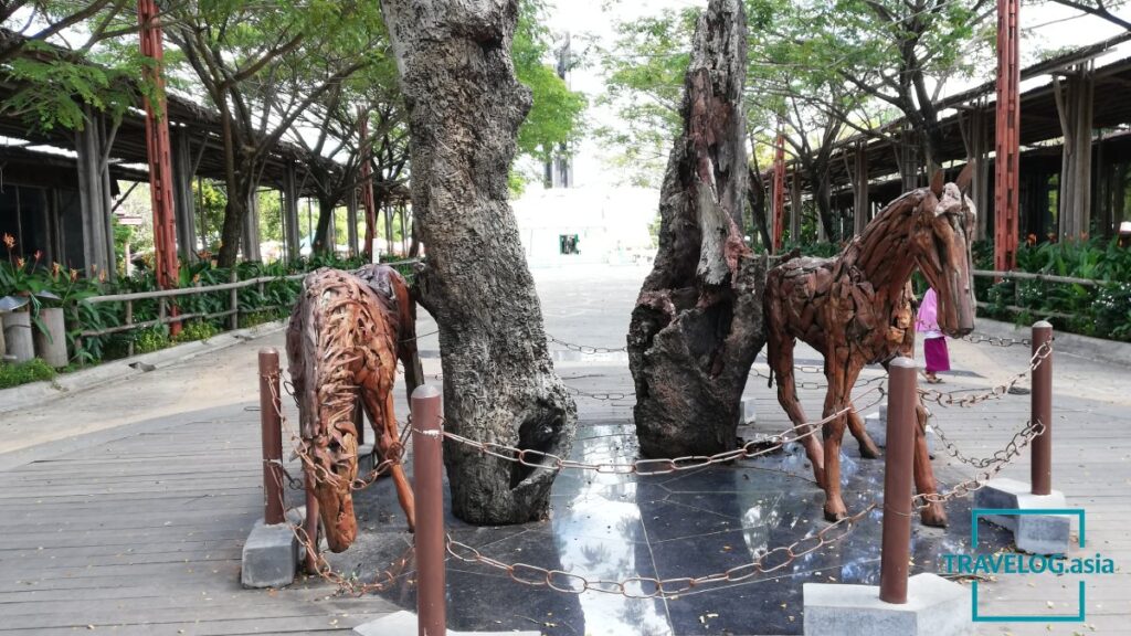
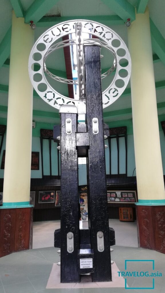
The monument has a rich historical background dating back to 1928, when it was first constructed by a Dutch geographer. It was completed in 1930 in a simple form resembling a bollard with directional markers. In 1938, the structure was rebuilt and refined under the supervision of renowned Indonesian architect Friedrich Silaban. Today, the original monument remains preserved inside the complex, allowing visitors to appreciate its historical significance.
In 1990, a major renovation was undertaken to protect the original structure. A dome was added, and a replica monument—five times larger than the original—was constructed as the main visual landmark. The upgraded complex was officially inaugurated on September 21, 1991, further enhancing its appeal as a cultural and educational destination.

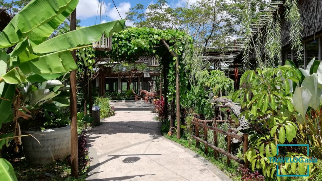
Located on Jalan Khatulistiwa (Equator Road) in North Pontianak, the monument lies approximately 3 kilometres from the city centre, making it easily accessible for visitors.
Interestingly, the exact position of the equator is not fixed. Due to natural phenomena such as plate tectonics and Earth’s axial movements—including precession and nutation—the equatorial line gradually shifts over time. As a result, the monument’s original position is no longer perfectly aligned with the current equator. Updated markers have been added nearby, including a recorded position from 2005, while more recent measurements indicate that the equator has shifted slightly further south, even extending into the nearby river.